Resources: Maps Related to Japan
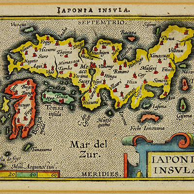
Cortazzi Map Collection
Held by the Lisa Sainsbury Library at the Sainsbury Institute for the Study of Japanese Arts and Cultures (UK), this collection incorporates over 70 historical maps related to Japan.
Sources
Cortazzi Collection overview
Cortazzi Collection search (thumbnails can be viewed via the ‘閲覧’ (‘browse’) button at the bottom of the page)
Digital exhibition, JAPAN: Historical Images from the Cortazzi Collection
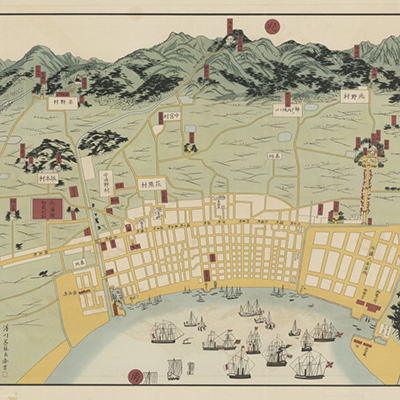
Harold S. Williams Map Collection
Housed at the National Library of Australia, this collection includes approximately 50 digitised maps and other visual materials dating from 1876 to 1967. Kobe is heavily featured, and many of the materials were produced for tourists to Japan.
Sources
Harold S. Williams Map Collection overview
Collection Guide
Browse Collection (items can be viewed in the order listed in the Collection Guide)
‘Japan and the World on Maps’ Collection
Part of the Kyoto University Rare Materials Digital Archive, this collection features over 100 historic maps, ranging from charts of individual provinces in Japan to early world maps. Catalogue entries are mostly in Japanese, however the catalogue categories themselves are in English.
Source
Japan and the World on Maps
See also
Related Links
GET IN TOUCH
Contact us on (02) 8239 0055 or via
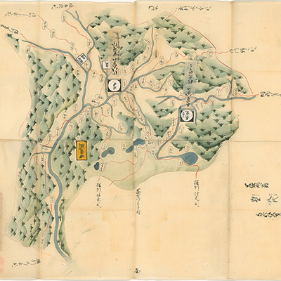
Image: Nikko oyama no ezu [detail], map, Cortazzi Collection, Sainsbury Institute (Source)
Featured: Japanese Studies

Peer-reviewed Journal: New Voices in Japanese Studies

Japanese Studies Grants from the Japan Foundation

Subscribe to #jstudies e-news